
Walk a Glendale Heights Street
A reliable street search moves from the physical address to IDs that stay useful when a spelling, city label, or owner changes. DuPage County supplies the core tools. Keep one worksheet row per parcel identification number, or PIN, rather than one row per person. Note the exact situs address, taxpayer spelling, mailing address, legal description, tax year, and search date. Then keep sale date and recording date separate because county systems may update on different schedules.
- Run the DuPage address search. Open the PIN result and copy the situs, taxpayer, mailing, legal-description, transfer, and map details.
- Open the GIS Parcel Viewer. Confirm the parcel shape, browse the street, and record each adjoining PIN separately.
- Follow transfer history into the Recorder document search. Read the deed for grantor, grantee, date, and legal description.
- Use the DuPage voter address lookup only as a targeted match, not a street roster.
- For older occupants, consult Wheaton Library’s Haines volumes. The collections appear on the Glendale Heights city directory page.
This sequence separates ownership from occupancy. A tax name can be a trust, company, or person who receives bills elsewhere. A deed establishes a recorded interest, not who slept at the address. A published directory or voter match adds another dated clue, and two independent records are safer than one.
Glendale Heights Address Record Map
Each address-keyed source answers a different question. The county property system is the best first stop, while the Village becomes useful for a permit, maintenance, or transfer file tied to a known site. Older street work may require a name, PIN, plat, or legal description because the Recorder’s address index begins much later than its office holdings.
| Address source | Keeper | Street evidence | Access |
|---|---|---|---|
| Property card | DuPage Property Records | Taxpayer, mailing and situs addresses, PIN, legal description, transfers | Free PIN, address, name, and map searches |
| Parcel map | DuPage GIS | Parcel shape, nearby lots, districts, layers, imagery | Viewer, buffer, results, print, exports |
| Recorded documents | DuPage Recorder | Deeds, parties, dates, plats, liens, easements | Online index, terminals, research staff |
| Voter match | Election Division | Targeted registration or district match | Name, exact address, or district lookup |
| Municipal file | Village offices | Permit, inspection, maintenance, transfer context | Office, mail, email, Cloudpermit, FOIA |
| Criss-cross volume | Wheaton Library | Published address-to-name snapshot | Locked local-history shelf |
There is no official Glendale Heights household roll. A parcel card can point to an owner and outside mailing address. GIS can show an adjacent lot without naming its occupant. Municipal records may name an applicant or contractor only when that file is available.
Search Glendale Heights Property Fields
The DuPage Property Records Search offers PIN, address, billing-name, map, and Board of Review modes. Search is free and no login was observed. The county bars data mining, so work parcel by parcel. Click the PIN because the detail card separates the physical site from tax correspondence.
| Field | Input | Street use | Caution |
|---|---|---|---|
| Street Number | Text | Physical site number | Unit behavior varies |
| Street Name | Text | Narrows the road | Test direction separately |
| City | Text or list | Modern Glendale Heights filter | Old labels differ |
| Billing Name | Text | Parcels tied to tax name | Keep spelling variants |
| PIN | Segmented text | Links county systems | Dashed and undashed forms |
| Map Search | Interactive | Browses parcels | Not occupancy proof |
The billing-name interface shows the owner-name search surface used by this street directory.
Use it after an address result supplies an exact taxpayer spelling, but do not treat a result as proof of physical presence.
Key distinction. Situs means the parcel’s physical location; mailing address means where the county sends tax correspondence.
Browse Glendale Heights Streets in GIS
The parcel viewer adds a whole-street view that the legacy property form does not document as an export. Search a PIN without dashes or use a full or partial address. Turn on parcels, select lots, and inspect Results. The tool also has subdivision search, shapes, measurements, layers, historical imagery described from 1956 forward, and print controls.
Open the DuPage advanced property map to inspect its map interface.
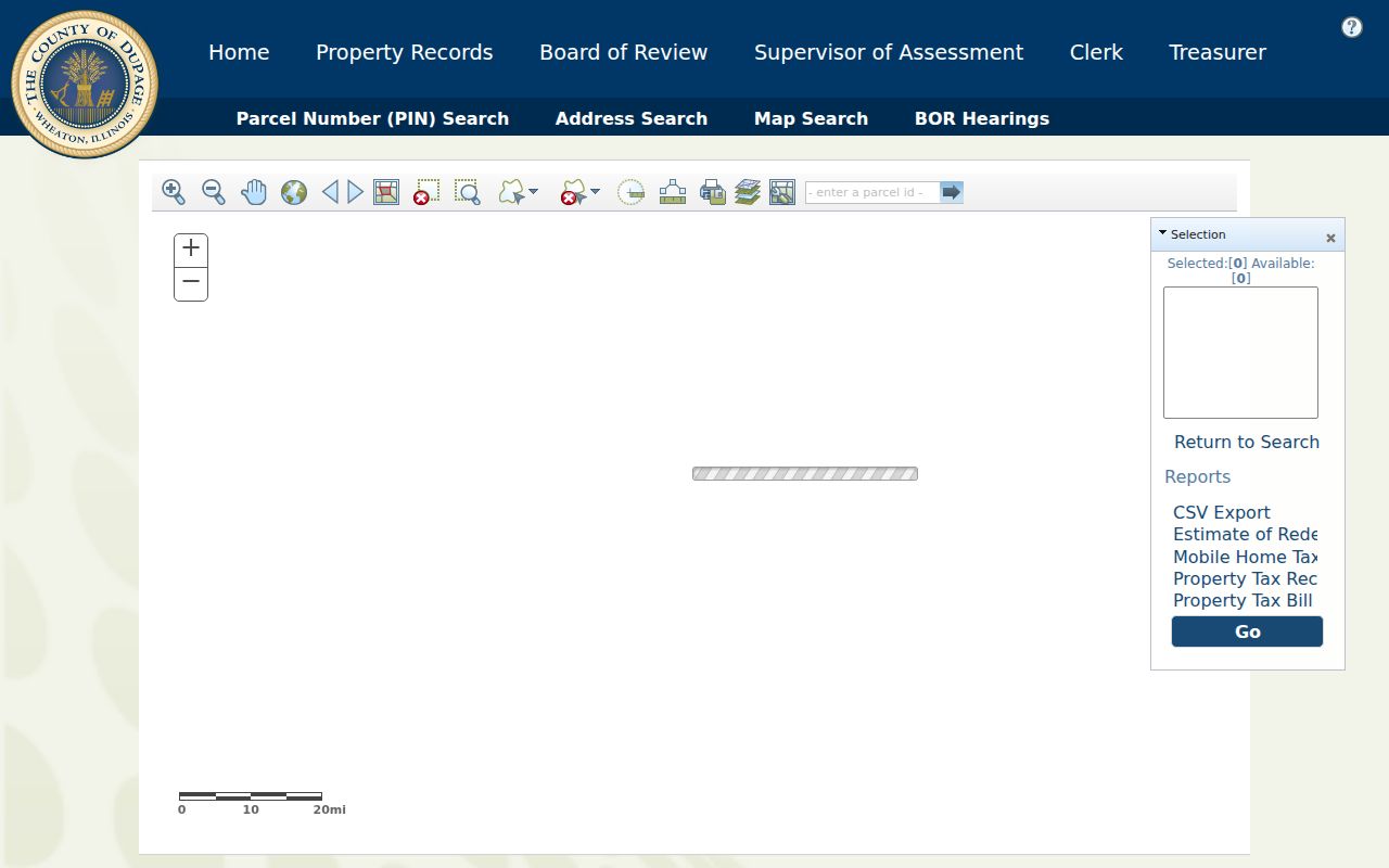
Use the map to identify candidates, then open each property card. Roads, water, rail, shared drives, parcel splits, and planned developments can make visual and legal adjacency differ.
The GIS Buffer defaults to 250 feet. It accepts selected parcels, popup features, or all features, and results may be downloaded as TXT, CSV, PDF, XLS, XLSX, or ReportToPDF. This is a research aid, not a resident list. Verify each PIN.
Note: Preserve dashed and undashed PIN forms because the property card, GIS, and Recorder handle the identifier differently.
Follow Glendale Heights Deeds
The Recorder connects parcels to recorded transactions. Search street number, direction, street, city, four-part PIN, date range, or document type. Useful types include deeds, quit claim deeds, mortgages, releases, easements, plats, building violations, and planned-unit-development plats. Open the document number, read its details, and use View/Print Document for the image.
Coverage explains false dead ends. Online images begin March 16, 1961. Computer name search begins in 1961, parcel search in 1985, and address search in 1995. Office research is described from 1839, with plats from the 1800s. When an address query fails, move to PIN, name, and legal description before deciding no deed exists.
- Parcel
- A defined piece of land identified by a county PIN.
- Situs address
- The physical parcel location, distinct from its tax mailing address.
- Plat
- A recorded map of lots, blocks, subdivisions, or boundaries.
- Criss-cross directory
- A published directory arranged by address or street.
The Recorder extends public terminals at 421 N. County Farm Road in Wheaton. Call Research at 630-407-5401 for early material and certified-copy procedure. No current certified-copy fee table was verified.
Glendale Heights Voter Address Search
The Election Division address mode asks for House Number and Street Name, with separate Direction and Suffix controls. Its city list uses “Glendale Hts.” Enter Maple rather than S Maple Ave when direction and suffix have their own fields. The portal has no documented whole-street export.
A match may support registration, precinct, polling, or district research, but it does not promise every registrant at a home. Full voter data has separate eligibility and use limits under Illinois law. Protected voters may use confidentiality procedures. Private matching inputs must not be republished.
One quirk matters: portal help says McCarthy may need the spaced form “Mc Carthy.” Test the documented variant before abandoning a known name.
Glendale Heights Permit Clues
County records do not date each site change. Community Development handles permits and some work through Cloudpermit. Request a file or status by address, type, and date range. No complete public permit-case index was verified.
The Village property-maintenance process can create address-keyed notices or citations.
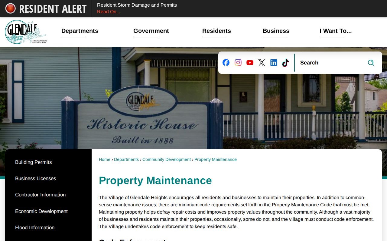
The page confirms the municipal channel, not an allegation. If nothing is posted, use the Clerk’s Transparency and Illinois FOIA route with a narrow description.
Permit applications may go to the office, by mail, or by email. Files can include applicant, owner, or contractor roles, subject to the record. Transfer certificates add sale or inspection context but have limits on whose identity can be released.
Older Glendale Heights Street Labels
The area was rural until 1958, incorporated as Glendale in 1959, and became Glendale Heights in March 1960. Earlier deeds, maps, directories, and census entries may use rural routes, farms, townships, Glen Ellyn, Bloomingdale, Wheaton, or another postal label.
No verified street-renumbering project or conversion table was found. Use PIN, legal description, subdivision, and plat to test old labels. Pair “Glendale” with DuPage County, a road, or a person because another Illinois Glendale caused the rename.
West Suburban Haines volumes cover 1988-2021; Near West Suburban covers 2004-2021. Nearby phone books cover 1951-2016. They are dated snapshots with omissions, not current household proof.
Glendale Heights Address Boundaries
USPS delivery geography, Village limits, tax situs, service districts, and a deed’s legal description answer different questions. The verified primary ZIP is 60139, but that does not prove each edge parcel lies within the Village.
The Village Community Portal returns officials, waste services, schools, and jurisdictions for an address. Use it beside GIS and the property card. A zoning or district layer explains context, not occupants.
Note: Keep postal city, situs city, Village boundary, and legal description in separate columns so one label does not overwrite another.
Limits of Glendale Heights Street Records
A street directory cannot name every person at every address. Property cards center on taxpayers and parcels. Deeds show recorded parties. Voter searches are limited matches. Directories omit unpublished people, and Village files concern a specific action. Even a homestead-style exemption is only evidence of a tax status claimed for a parcel. It is not final proof that the named taxpayer was inside the home on the day of the search.
Time also changes what a result means. Assessment years, sale dates, deed recording dates, directory publication years, and portal search dates are not interchangeable. A former owner may remain in one system while another has updated. A phone book can retain an old listing, and a voter record can become inactive through statutory list maintenance. Mark each fact with its own date and do not merge several records into one present-tense statement. If the Glendale Heights street directory evidence conflicts, ask the custodian which field changed and when.
Utility customer data and motor-vehicle address data are not open substitutes. Illinois has an Address Confidentiality Program for eligible people. Substitute-address protections can reach new public records, though they cannot erase old records or guarantee property-record confidentiality. The voter system also handles protected registrations through confidentiality procedures. A blank result may reflect privacy, search format, a stale index, or a record held through another access channel. It does not prove that a home is vacant or that a named person has moved.
Lawful use. Use Glendale Heights address records for lawful personal research, never to stalk, harass, intimidate, or expose a protected person.
Keep each conclusion narrow and dated. State what the record says, when it was recorded, and which office holds it. Preserve the search term and result page when practical, then compare the source with an independent record. For an online gap, use the documented fallback: the Recorder’s public terminals and research staff, Community Development or Village Clerk request routes, the library’s locked reference shelf, or IRAD’s catalog. Confirm a current claim with the custodian instead of turning one owner name, map point, or directory line into a claim about a whole household.