
Glendale Heights ZIP Coverage
Official postal material verifies one primary destination for Glendale Heights. The evidence does not support inventing a second ZIP, a ZIP-only resident count, or a claim that every parcel inside the legal Village line has the same postal label. This deliberately narrow coverage table gives the verified pairing and states what remains uncertain.
| ZIP | Verified coverage | Postal destination | Boundary note |
|---|---|---|---|
| 60139 | Glendale Heights addresses in Village, library, and county sources | Glendale Heights, Illinois | Primary ZIP verified; it does not prove the Village boundary |
| Other ZIPs | No other ZIP serving Glendale Heights proper was verified | Not established | Check an edge address directly instead of assuming |
The USPS Postal Bulletin lists Glendale Heights, Illinois 60139. Village and Glenside Public Library addresses also use it. The bulletin is a destination list, not a parcel-boundary map. Research found no official local PO-box-only ZIP, unique institutional ZIP, split year, or complete ZIP+4 boundary layer. The Glendale Heights ZIP code directory therefore keeps 60139 as the verified primary code and sends exact addresses back to USPS and county records.
Verify a Glendale Heights ZIP
Use the USPS ZIP Code Lookup when the search begins with one deliverable address. The dynamic tool can look up a ZIP by address or identify a city and state for a ZIP. Enter the street line as mailed, then record the city, state, five-digit code, and ZIP+4 shown by USPS. This answers a postal question. It does not establish ownership, Village jurisdiction, or who lives there.
The captured USPS screen is the official postal starting point for a Glendale Heights address check.
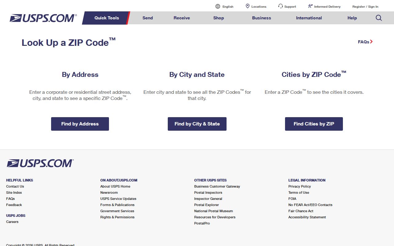
After USPS confirms the delivery label, compare the same address with the assessor situs and the Village community portal before drawing a local-boundary conclusion.
Find Glendale Heights Records by ZIP
Several official portals accept a ZIP field, but each returns a different class of record. None is a complete Glendale Heights resident roll. IDFPR searches professional credentials, I-Cash searches unclaimed property, the Illinois State Police registry covers its statutory subject, and the local Accela route searches address, parcel, property-owner, or municipal record information. Match the portal to the question before entering 60139.
- Confirm the exact address and postal city through USPS. Save the five-digit code and any ZIP+4 returned.
- Check the DuPage property system by PIN, address, billing name, or map. Compare situs and mailing fields rather than expecting a ZIP-wide list.
- Choose a ZIP-capable specialist portal. Add a name, city, board, status, or other narrow field so the result answers a defined question.
- Verify the result in its source record. Once a street is known, use the Glendale Heights street directory for address-level work.
The assessor's basic forms emphasize PIN, address, billing name, and map modes rather than ZIP. GIS offers parcel, address, subdivision, buffer, and map-layer tools, but no ZIP-wide control was captured. When a portal lacks a ZIP box, do not force the postal code into another field. Start with the exact address or browse the mapped parcel area, then reconcile it with USPS.
Connect 60139 to DuPage Parcels
The DuPage Property Records Search is the bridge from a postal lead to an assessed parcel. Its search modes include PIN, address, billing name, map, and assessment. A parcel card can show situs address, taxpayer mailing name and address, legal description, tax status, transfer history, and links to map or Recorder records. These fields are not interchangeable.
The screenshot below captures the county PIN search used after a Glendale Heights postal check.
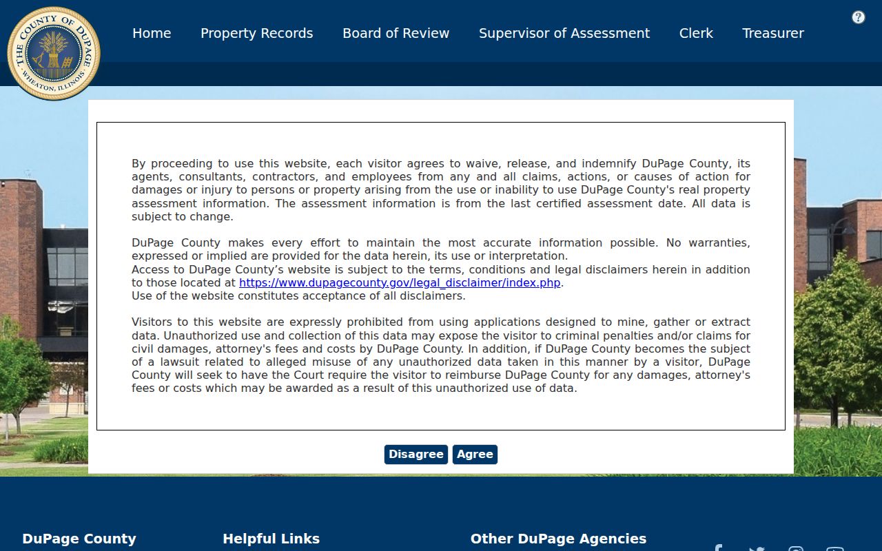
The parcel identifier is more stable than a postal label. Keep the dashed form used on a property card and the ten-digit form used in GIS instructions, then compare the legal description when the city or street text differs.
A mailing address is where the tax notice goes and can be outside 60139. The situs is the parcel's physical location. A legal description identifies the recorded land. Using all three keeps the ZIP code directory from turning an owner's contact address into a false claim about the Glendale Heights parcel.
Filter Illinois Licenses by 60139
The IDFPR license database offers a true ZIP text field alongside other filters. It is useful when the goal is to confirm a named professional or entity associated with Glendale Heights, not to list everyone in the postal area. Results can show a credential number, status, effective and expiration dates, a discipline indicator, and city, state, or ZIP. No home address, personal email, or private phone was observed as a public result field.
| IDFPR field | Use in a 60139 search |
|---|---|
| Board | Select the regulated field when known |
| License Status | Narrow by the current status choice shown in the portal |
| First and Last Name | Separate a person from a legal business name |
| City, State, County | Use Glendale Heights, Illinois, or DuPage as supported |
| ZIP | Enter 60139 as a location filter, not proof of residence |
The portal is described as updated daily for individual and entity records. Record the result date and exact status. A license location can be a work or record location and should not be converted into a private-home claim.
Search Illinois I-Cash by ZIP
The Illinois Treasurer I-Cash search asks for a required last or business name, with optional first name, city, ZIP, and property ID. Pairing a name with Glendale Heights or 60139 can reduce false matches. The source says its data is updated weekly, and filing a claim requires proof from the claimant. A match is an unclaimed-property lead, not current residency evidence.
This image shows the official I-Cash interface used for ZIP-filtered name work.
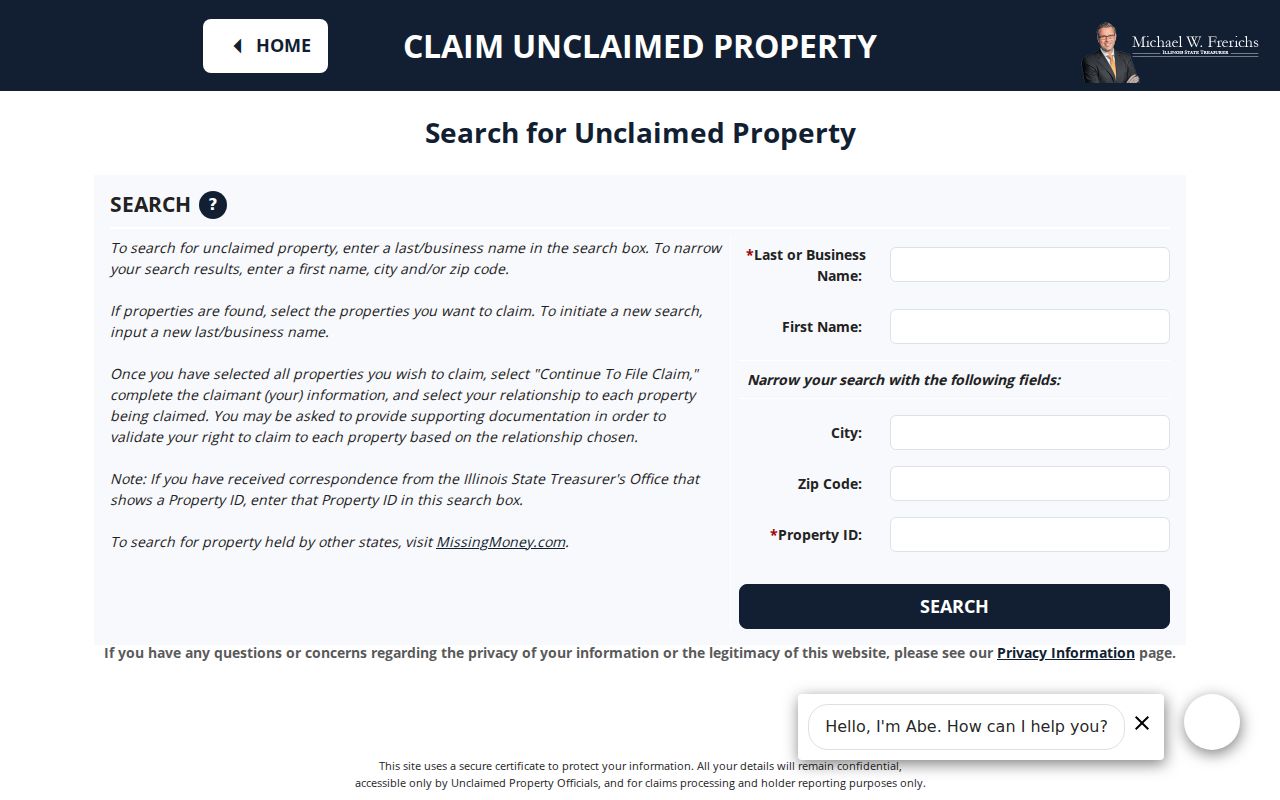
The extra city and ZIP fields can focus a common-name search, but the date and source still need to be kept with the result.
Why DuPage Skips ZIP-Wide Lists
The DuPage voter lookup has name, address, and district modes, but the inspected form does not offer a general ZIP filter. Address mode asks for House Number, Street Name, optional Direction and Suffix, plus a City dropdown that includes “Glendale Hts.” Street type and direction belong in their own fields. Enter Maple in Street Name, for example, rather than putting a full formatted street line there.
This design is a useful limit, not a defect. The interface answers a targeted registration or district question and does not promise an export of every voter in 60139. Illinois controls full voter-file access and restricts it to permitted political or government purposes. Date of birth and sensitive identity inputs are not public output to collect or republish. Protected voters may also use confidentiality procedures.
Note: A ZIP code directory should never turn a targeted voter match into an inferred household or block roster.
Use 60139 in Statutory Searches
The Illinois State Police registry allows ZIP, city, county, and status modes under its statutory purpose and disclaimer. The screenshot below is the successful official registry capture for Glendale Heights. Use that notice and the current result, not an unsourced repost.
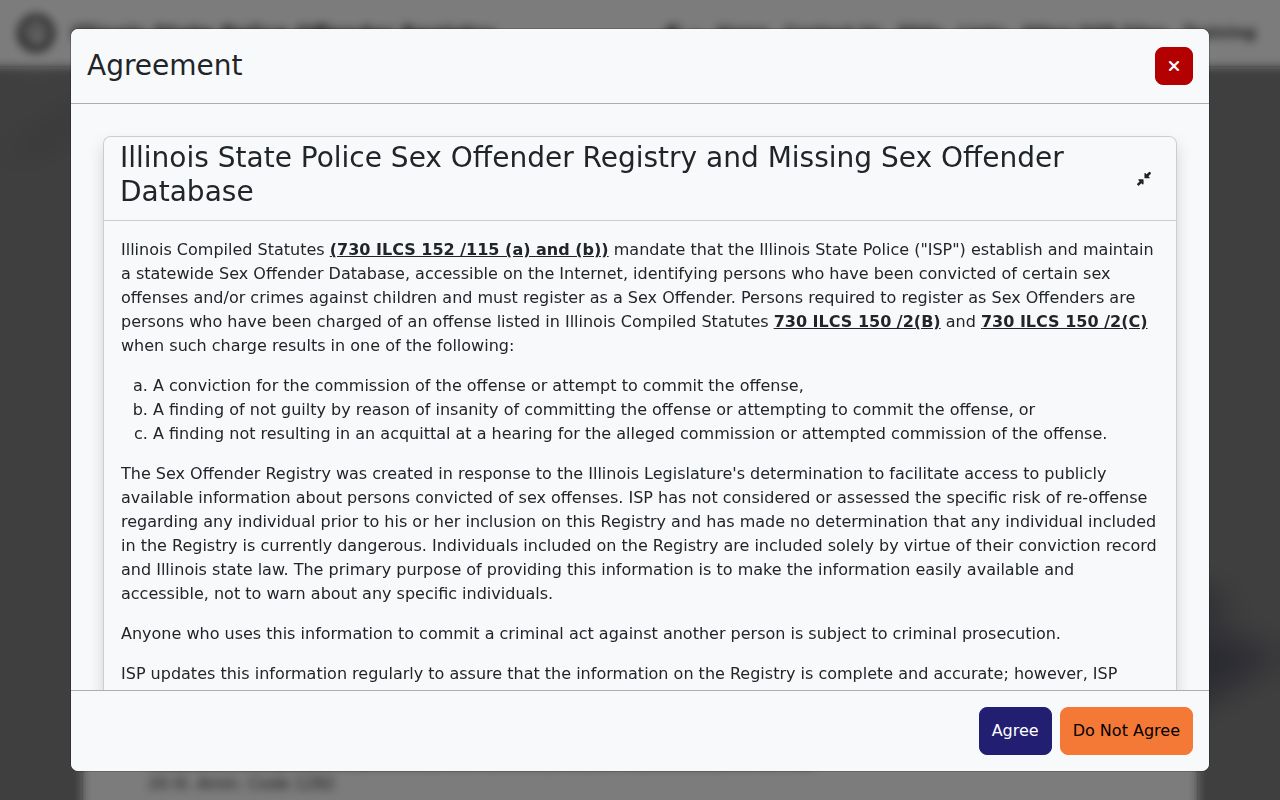
The ZIP field narrows a regulated registry search. It does not describe the whole Glendale Heights population, and a boundary or status change can alter a later result.
Glendale Heights ZIP and Village Lines
USPS designs ZIP geography for mail delivery, while Glendale Heights governs a municipal area and DuPage maps tax parcels and service districts. The systems can overlap without matching. An address can carry a postal city that differs from its municipality, and one parcel can sit in separate school, fire, library, park, township, or county service areas. The Village district map, zoning map, county GIS, and Community Portal answer those local questions more directly than 60139 alone.
History adds one more label. The area was mostly rural until 1958, incorporated as Glendale in 1959, and took the Glendale Heights name in March 1960. Older deeds or directories may use rural routes, Glen Ellyn, Bloomingdale, Wheaton, or the short-lived Glendale name. A modern ZIP code cannot repair that historical mismatch. Use the PIN and legal description to connect an old location to the current parcel.
- ZIP and ZIP+4
- The five-digit code identifies a delivery area. The added four digits narrow mail to a smaller segment.
- PO-box ZIP
- A code assigned chiefly to post-office boxes rather than ordinary street delivery.
- Unique ZIP
- A code assigned to one high-volume organization or destination.
- Carrier route
- The delivery path served by one postal carrier, which is not the same as a Village district.
Boundary check. Treat 60139 as a postal filter. Confirm Village limits, parcel situs, and service districts in their official map systems.
No official ZIP split year, ZIP+4 map, carrier-route boundary, ZIP-specific population series, or parcel-to-ZIP download was found for Glendale Heights. The absence of those data is a reason to narrow claims, not a reason to estimate them.
Keep Glendale Heights Counts Separate
A postal destination is not a count of people. Census QuickFacts reports Glendale Heights at the Village level, not for 60139, and the research found no official ZIP-specific population or voter-registration series. The assessor counts parcels and tax records. The election office answers targeted registration questions. USPS routes mail. Combining those systems into an estimated resident total would blur three distinct facts.
The same care applies to search results. One parcel may contain more than one unit, yet the property card may list only the taxpayer or record owner. A license result may point to a business site. I-Cash may preserve an old city or ZIP tied to property that has not been claimed. A registry result is governed by its own statute and status date. Record the source and search date beside each hit.
For local jurisdiction, enter the exact address in the Glendale Heights Community Portal. It can return elected officials, waste and recycling service, school districts, and related jurisdictions. Pair that response with the county parcel and USPS output. Together they answer who serves the place, where the land lies, and how mail reaches it without pretending that one line defines them all.